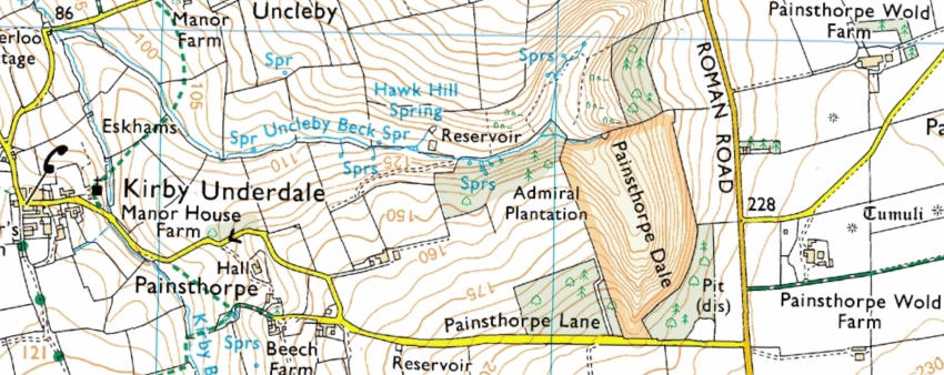
Painsthorpe Dale
Uncleby Brow site is a steep sided, narrow, dale consisting of Uncleby Brow and Painsthorpe Dale to the south. No appeal was lodged against the mapping of Painsthorpe Dale.
Resources available for this area are as follows:
- Interactive maps based on the Conclusive map available on the Internet
- OS Explorer map showing boundary of the site
- MAGIC website.
- Natural England Open Access map of the site showing restrictions currently in force: with your mouse select and copy the grid reference: SE867587, open the website, then paste the grid reference into the OS Reference box and click the Search button.
- Draft Map - Revision