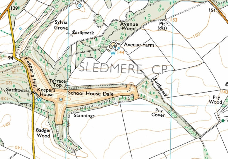
School House Dale<
School House Dale includes three connecting valleys. A public road, including the steep Keeper’s Hill, runs alongside the western edge. The area is surrounded by woodland.
Resources available for this area are as follows:
- Interactive maps based on the Conclusive map available on the Internet
- OS Explorer map showing boundary of the site
- MAGIC website.
- Natural England Open Access map of the site showing restrictions currently in force: with your mouse select and copy the grid reference: SE928630, open the website, then paste the grid reference into the OS Reference box and click the Search button.
- Draft Map - Revision
- Provisional Map - Appeal