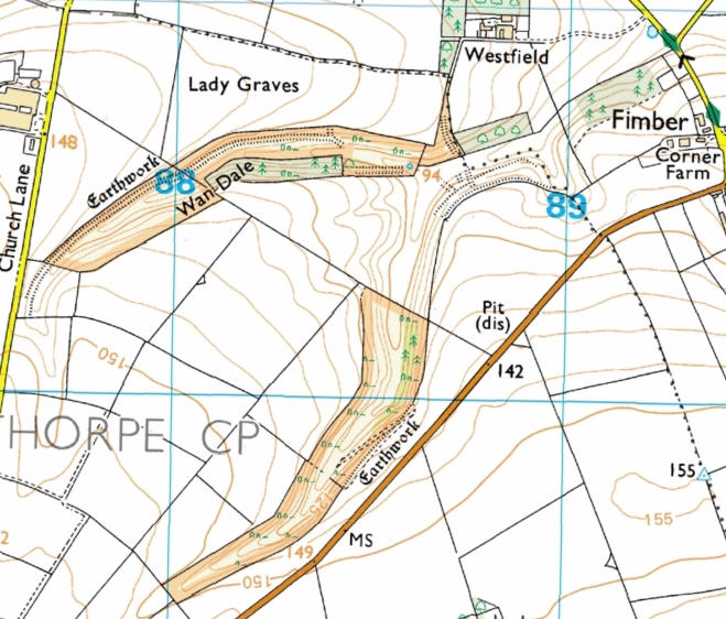
Wan Dale
The Fridaythorpe site is an inverted Y-shaped area with the fork of the Y facing south west and the foot just west of Fimber. The upper arm is marked on the map as Wan Dale.
Resources available for this area are as follows:
- Interactive maps based on the Conclusive map available on the Internet
- OS Explorer map showing boundary of the site
- MAGIC website.
- Natural England Open Access map of the site showing restrictions currently in force: with your mouse select and copy the grid reference: SE884603, open the website, then paste the grid reference into the OS Reference box and click the Search button.
- Draft Map - Revision
- Provisional Map - Appeal